How hard is the Hooker Valley Track?
Hooker Valley Track difficulty explained: DOC's grade, the 10 km distance, steps and swing bridges, children, strollers, wheelchairs and shorter options.
The Hooker Valley Track is not technically difficult. The Department of Conservation (DOC) grades it an “Easy to intermediate walking track”, the surface is gravel with some steps, and the route follows the valley floor to a glacier lake below Aoraki/Mount Cook without a steep climb. The challenge is the distance: 10 km return, which DOC times at three hours of walking. If that is too far, you can turn back at either of the first two bridges and still have had a good walk.
Check Availability
What DOC’s grade, the surface and the climb tell you
DOC gives the distance as 10 km return on the same track, 5 km each way, and describes it in one line: “The track is gravel with some steps.” There is no scrambling, no river to ford and no route-finding. You follow a formed path, cross three swing bridges and come back the way you went.
The grade needs a caution. Kea Point, Tasman Glacier View and Sealy Tarns all carry the same “Easy to intermediate” label, and Sealy Tarns has 2,200 steps and 600 m of height gain. So the label tells you the track is formed and marked. It says little about effort.
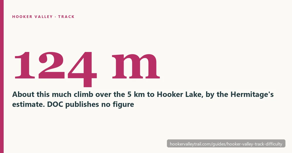
DOC does not give a height gain for this track. The Hermitage hotel puts it at about 124 m over the 5 km, which is a gentle rise spread along the whole valley. Gentle does not mean step-free, though: there are steps along the way, and DOC’s “some steps” is the phrase to remember if anyone in your group struggles with stairs.
| Turn around at | Return distance | Time to allow | What you see |
|---|---|---|---|
| First swing bridge | About 2 km | 30 to 45 minutes | Mueller Lookout and the Hooker River |
| Second swing bridge | About 5 km | 1.5 to 2 hours | Mueller Lake, Kakīroa/Mount Sefton and the 189 m bridge |
| Hooker Lake | 10 km | 3 to 4 hours | The lake, its icebergs and Aoraki/Mount Cook on a clear day |
The distances come from DOC’s section figures. The times are our planning estimates: DOC’s walking times with stops added.
Who finds it easy, and who finds 10 km a lot
Few walks give this much mountain for so little effort, which is why the track suits families, older walkers and people who do not usually hike. It is a natural choice for first-time visitors to Aoraki/Mount Cook, road-trippers with half a day and photographers.
If you walk for an hour or two at home without thinking about it, the full track will feel easy and long. If your usual walk is 20 minutes, the terrain will not stop you but the last few kilometres back might. One tour operator, Altitude Tours, recommends the entire track only to people with medium fitness, which is a fair test.
Older walkers generally manage well, because nothing on the route is steep or exposed. Three things are worth planning for. Poles help on the steps and on the bridges. Toilets are at White Horse Hill and again 15 minutes after the second swing bridge, and nowhere else. And the track has no shortcut home: every kilometre you walk out, you walk back.
Pick another walk if 10 km is too far, if you have under two hours, or if you are uneasy on swing bridges. There are three of them and no way round.
Children, strollers and wheelchairs
School-age children who are used to several hours of walking can do the whole track. With younger ones, turn round at the first or second bridge. Both are proper destinations with a view, so the day does not feel cut short.
The track is not a reliable route for strollers or wheelchairs: it has gravel, steps and three swing bridges. People do take all-terrain buggies, but you will be lifting them on the steps and bridges, and a child carrier is easier. The wheelchair-accessible toilets are at White Horse Hill Campground, at the start, and only there. DOC’s suggestion nearby for groups who cannot use steps is the Tasman Lake and River Track, 2.5 km and 50 minutes return.
The three swing bridges
All three bridges are on the way to the lake, and you cross each one twice.
The first has a 20-person limit. In September 2026 DOC said engineers had found cable wear on the 47-year-old bridge. It plans self-closing gates at each end and rangers at peak times over summer. DOC’s message was that the bridge can still be crossed and “the people limit needs to be followed”. Expect to wait your turn on a busy day.
The second is the new 189 m bridge, opened in July 2026, which DOC calls the longest suspension bridge in New Zealand. Does it sway? Its designer told 1News there is “a little bit of movement, but it’s definitely suppressed compared to what you would normally have.” The first and third are older swing bridges and move more underfoot. If heights bother you, the first bridge, 15 minutes from the car park, is the place to find out before you commit to the rest.
Footwear, and what winter adds
In dry summer conditions, walking shoes or trainers with a good tread are enough for gravel and steps. Boots earn their place after rain and in the colder months.
Winter raises the difficulty. DOC says: “Hooker Valley Track can become very icy in shaded areas and extremely slippery. We recommend microspikes and hiking poles for this track in winter.” It also asks for “good solid walking boots or shoes”. Our winter guide covers the ice, the short days and the road.
Shorter and easier walks nearby
With an hour, walk to Mueller Lookout and the first swing bridge and back. That is a better use of the time than rushing towards a lake you will not reach. Or choose a different track from the same area:
| Walk | Return distance and time | Effort |
|---|---|---|
| Kea Point Track | 1 hour from White Horse Hill, 2 hours from the village | 180 m of height gain over 3 km |
| Tasman Glacier View Track | 1.5 km, 30 minutes | A steep climb with more than 300 steps |
| Tasman Lake and River Track | 2.5 km, 50 minutes | DOC’s alternative when steps are unsuitable |
Kea Point is the one to do if you have an hour and do not want to cross a bridge. Tasman Glacier View is the shortest and the steepest of the three. Hooker Valley, Tasman Glacier or Kea Point compares them in detail.
Doing it on a day tour
A tour sets your walking time, and that changes the sums. The Cheeky Kiwi scenic day tour from Queenstown, from US$154 per person and rated 4.8/5 from 220+ reviews, gives you about three hours in the park, and the guide drops you at the walk you choose and collects you afterwards. Three hours is DOC’s walking time for the full track with no stops, so steady walkers can reach the lake and slower ones should plan on the second bridge or Kea Point. The walk is self-guided. Our breakdown of that tour has the details, and the tour comparison ranks every trip by time on the track.
Frequently asked questions
Is the Hooker Valley Track difficult?
Not technically. DOC grades it easy to intermediate, on gravel with some steps and little climbing. The challenge is the 10 km.
Can children walk the Hooker Valley Track?
School-age children used to several hours on foot can. With younger ones, turn round at the first or second bridge.
Is it suitable for strollers or wheelchairs?
Not reliably: gravel, steps and three swing bridges. The accessible toilets are at the start only.
Can I bring my dog or drone?
No. DOC says “Dogs or other animals are not allowed in the national park” and “Recreational drone use is not allowed anywhere in the national park.” Drone permits are for commercial flying only.
Next: choose your turnaround point before you start
Decide how far you are going while you are still at the car park, then read the full track guide for what each section holds. DOC’s Hooker Valley Track page lists any closure or bridge notice, and our status page explains how to read it. If you are driving, a shorter walk also means a smaller bill at White Horse Hill: see the parking guide.
Find a Tour That Fits Your Day
The Hooker Valley Track needs no booking and no guide. If you have no car, compare day trips from Queenstown, Lake Tekapo and Christchurch by how much time they leave you on the track.
Check Tour Availability